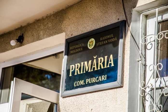
Located on the lower course of the Nistru River, the Purcari commune of Stefan Voda is famous for the winery that bears the name of this locality. Thanks to the technical performance obtained from the people of Norway, within the framework of a collaborative partnership between the Congress of Local Public Authorities of Moldova (CALM), the Land Relations and Cadastre Agency (LRCA) and the Government of the Kingdom of Norway, through the Norwegian Mapping Authority Statens Kartverket, the local public authorities will be able to produce a map to support tourists interested in discovering the picturesque places in this commune and its surroundings.
Also thanks to this modern technique, local public authorities will be able to ensure the inventory and regular updating of data on the condition and need for intervention at dams and weirs on their territory. This is an important element of local flood risk management and soil protection.
Tamara Damaschin, a specialist in land regulation at Purcari municipality, says there are no massive registrations in the two villages under her administration. “We were instructed on how to work with the QGIS program and so we understood that we alone can make the maps we need in the territory. Working with the E-Cadastre portal, we see the total map of the village, we can integrate this data into QGIS and perform various manipulations, analyses that allow us to make the most accurate decisions.”
QGIS is a user-friendly, open source geographic information system under the GNU General Public License. QGIS is an official project of the Open Geospatial Resources Foundation and can run on various operating systems. The land tenure specialist from Purcari believes that more advanced training and ongoing support from experts in the field is necessary in order to be able to fully use its functionality in her daily work.
Tamara Damaschin is convinced that the technique obtained by the municipality can be a useful tool in the development of the locality. “Until now we have worked mostly manually, we only had information from E-Cadastru, there was no other program, but we could not have been able to install it because the computer was very old and its technical characteristics did not allow us to operate with spatial data sets that are quite voluminous. Now it’s much easier to activate but we understand that we still have a lot to learn and we need support in this respect.”


