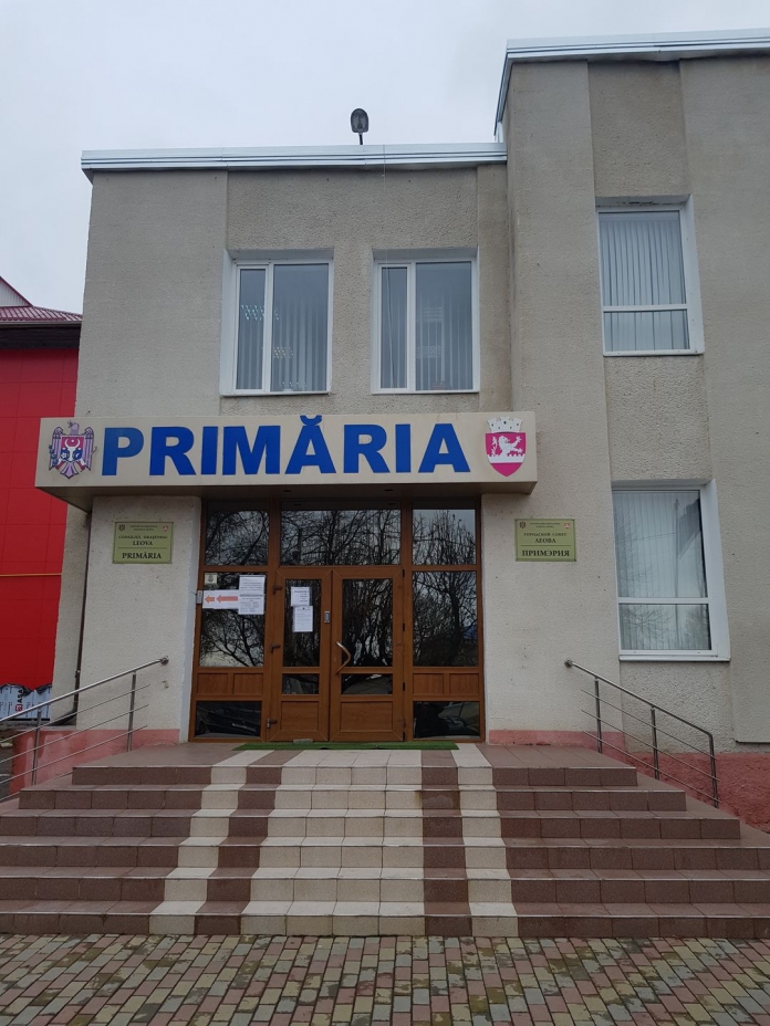
The municipality of Leova received technical equipment as part of a partnership between the Congress of Local Authorities of Moldova CALM, the Land Relations and Cadastre Agency ALRC and the Mapping Agency of the Kingdom of Norway.
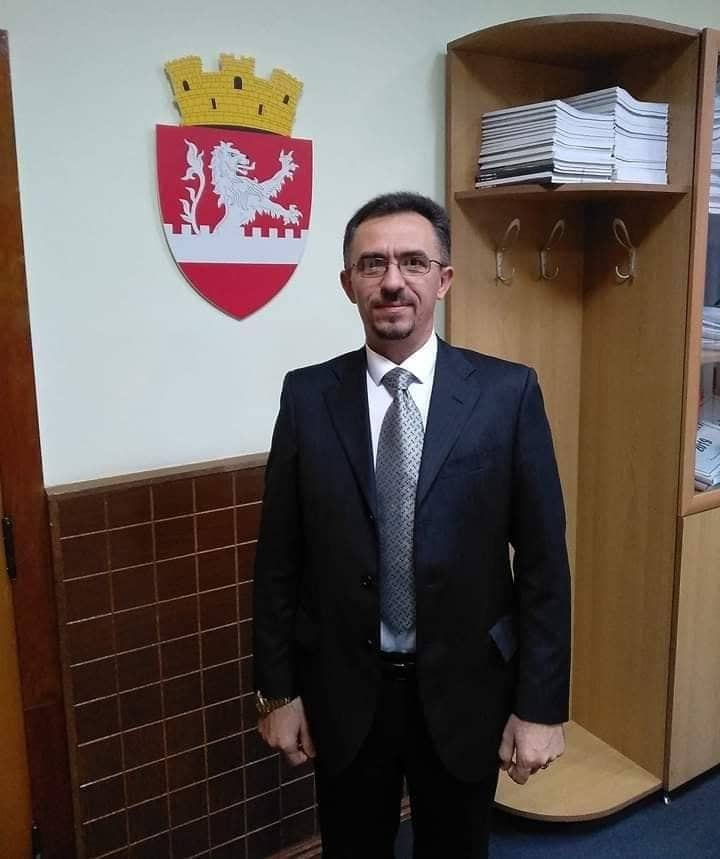
The Deputy Mayor of Leova Mihai Cretu welcomes the decision of the Kingdom of Norway to grant this support to several LPAs in the Republic of Moldova, especially since many of them were working with outdated technology. “When we received the new technology we felt the difference, the working speed increased, computers with such technical parameters are not even sold in the Republic of Moldova. Spatial data is used in various areas of LPA activity, such as public heritage management or architecture and urban planning. An eloquent example of this is that QGIS software could facilitate the automation of processes for issuing building permits, if the general urban plan is given a digital form.”
According to the official, specialists from LPA Leova can already develop thematic maps to monitor houses, electricity networks, including underground ones. “QGIS has the ability to automate certain processes. For example, it could automatically generate the urban planning certificate, which would greatly ease the work of employees in the municipality and reduce errors. Another example is that the municipal company that manages the water supply and sewage systems in the region has received several sets of spatial data and this program will allow us to exchange data with the operator.”
The architect from the Leova municipality says that thanks to the technique provided by the Kingdom of Norway and the knowledge gained during the training, he can already spatially position objects and other elements in the city within the thematic maps. “Together with a colleague we have already tried to make a map of the water and sewage networks, so that we can see what the situation is in each sector, where there is a deficit, where there is a surplus. The technique we have benefited from is a great advantage for each municipality.”
The official also believes that from an architectural point of view it is very easy to draw up a map of buildings, their detailed technical and volumetric characteristics. “From now on we will be able to monitor in real time compliance with the provisions of the regulatory framework and urban planning documentation. At the beginning it was a bit more difficult to work with QGIS software, because it allows processing a large volume of spatial information. But I am convinced that this effort will be rewarded in time, as it will make our work much easier.”
Three specialists from the Leova municipality are working with QGIS and they are convinced that this program will allow the digitalization and overlapping of different departmental datasets and improve the analytical planning process.


